Bushfire Recovery Project
THE SCIENCE OF FORESTS, FIRES, CLIMATe & MANAGEMENT
BUSHFIRE FACTS: The Basis For Our Research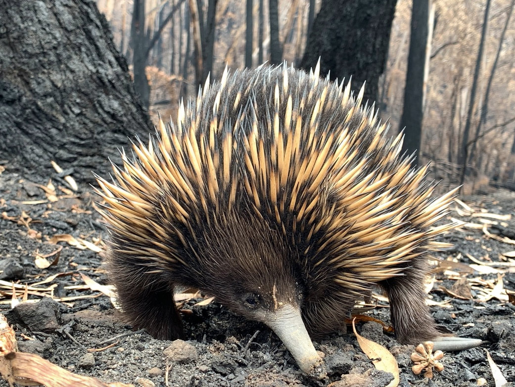
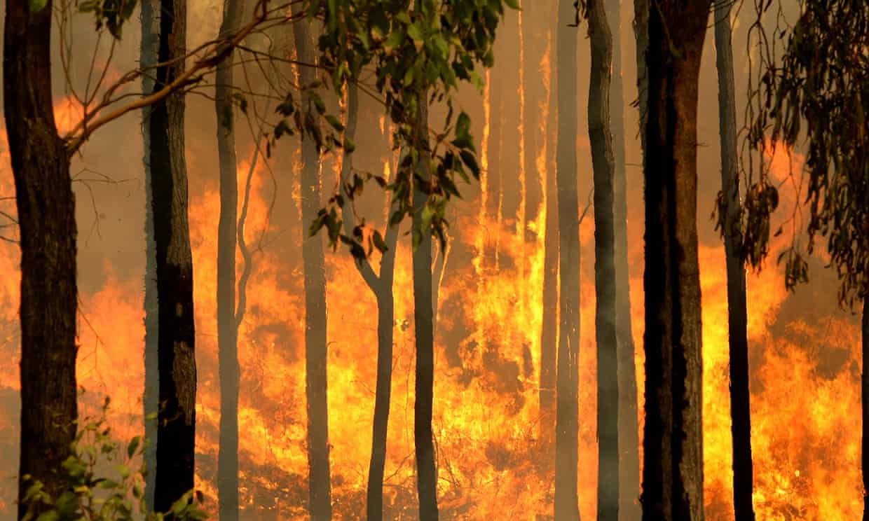
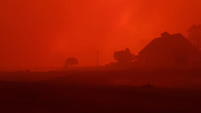
The 2019-2020 burnt an almost continuous 1,160 km from south east Queensland to eastern Victoria, encompassing 7.04 million hectares of land, of which 5.7 million hectares of forest and woodland was burnt, devastating Australian communities and killing and injuring an estimated three billion animals. In the aftermath, it is more critical than ever for us to develop a better understanding of how bushfires behave and how we can manage our landscapes more effectively to ensure resilience for our forests and wildlife in a rapidly changing climate.
To provide a science informed response to the bushfires that optimises wildlife and landscape recovery, whilst ensuring better management of our forests into the future, Australia’s leading forest and fire academics are engaged in a large-scale, multi-tenure research effort. This website contains their key research findings, information and data. 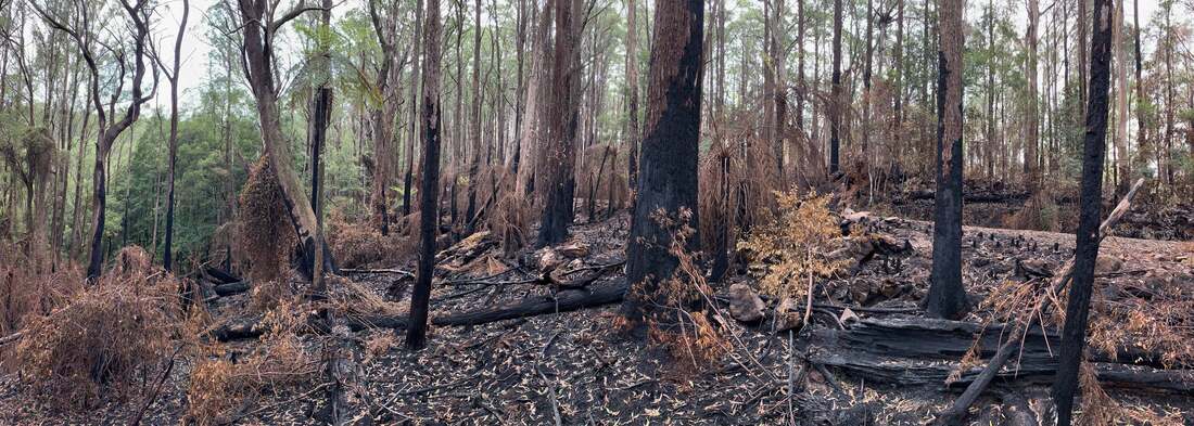
|
Videos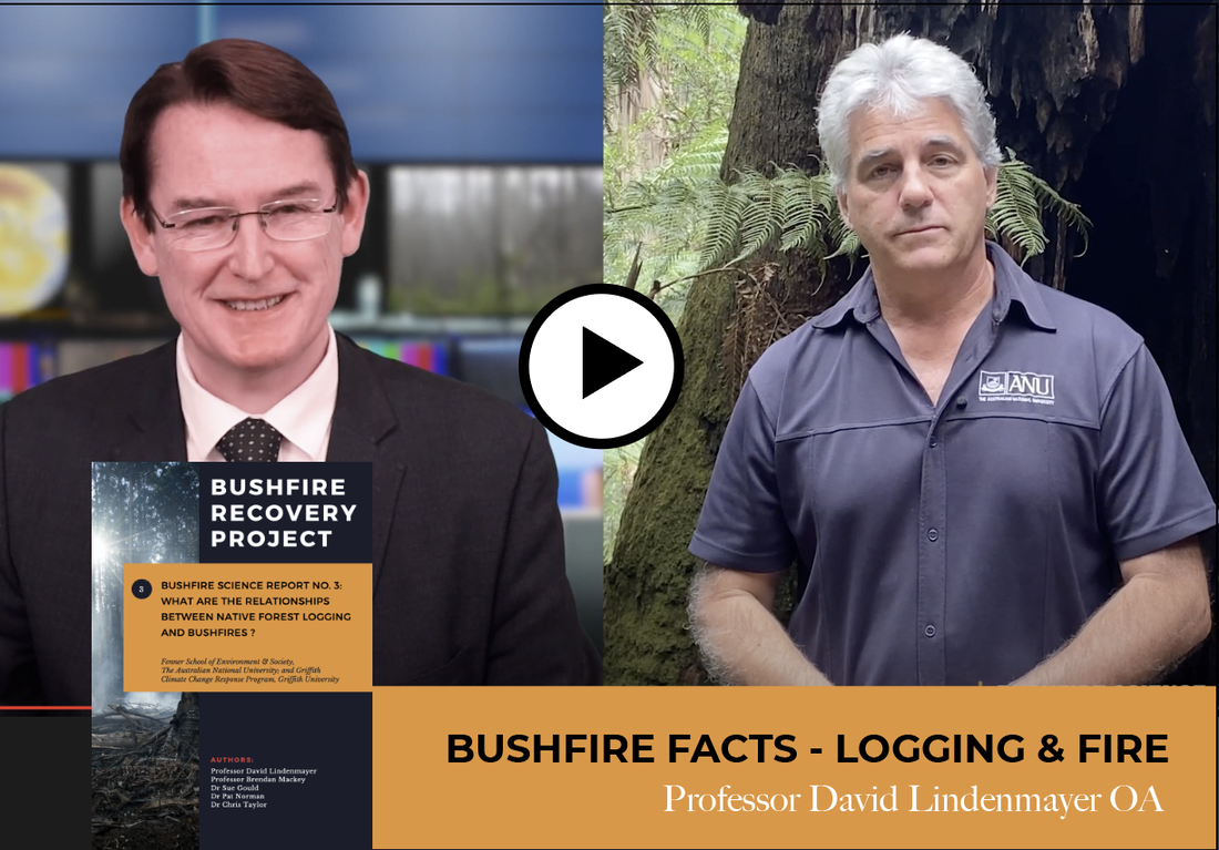
Is there a relationship between logging and bushfires? Professor David Lindenmayer AO answers our questions. Download the report and fact sheet.
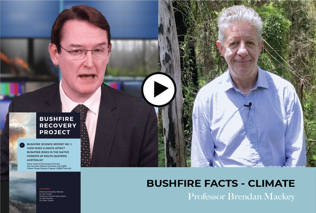
The 2019-2020 spring and summer bushfires were unprecedented. What drove this and what can we expect going forward? Professor Brendan Mackey answers our questions. To understand more, read more here or download the report and fact sheet.
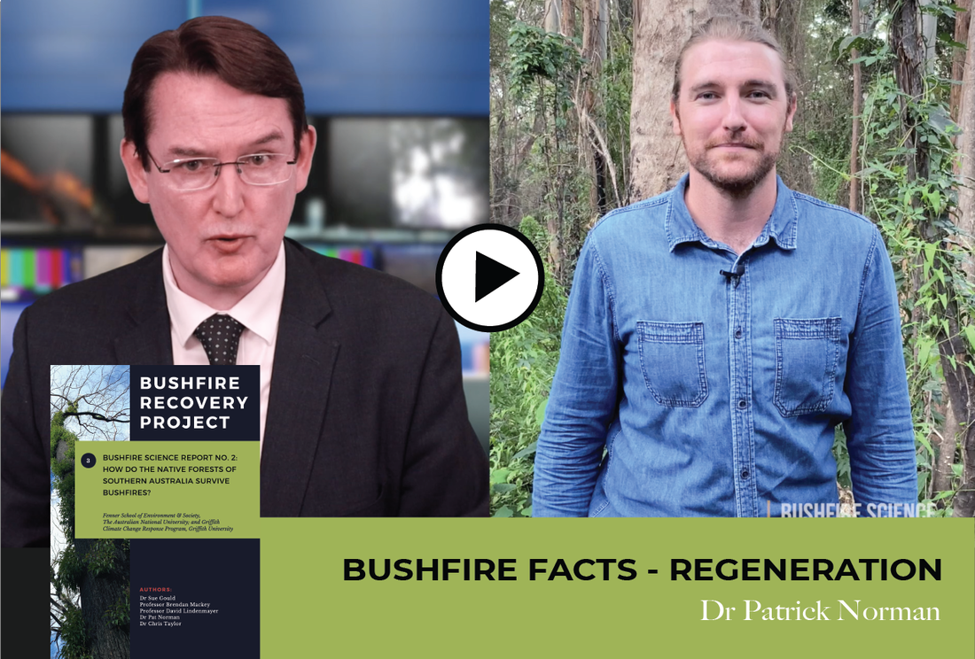
Are Australia's forests recovering after Black Summer? In this short interview, Jon Dee asks a series of questions of Griffith forest ecologist Dr Patrick Norman on the health and recovery of the nations forests after the horrendous 2019/20 summer fires.
|
ReGeneration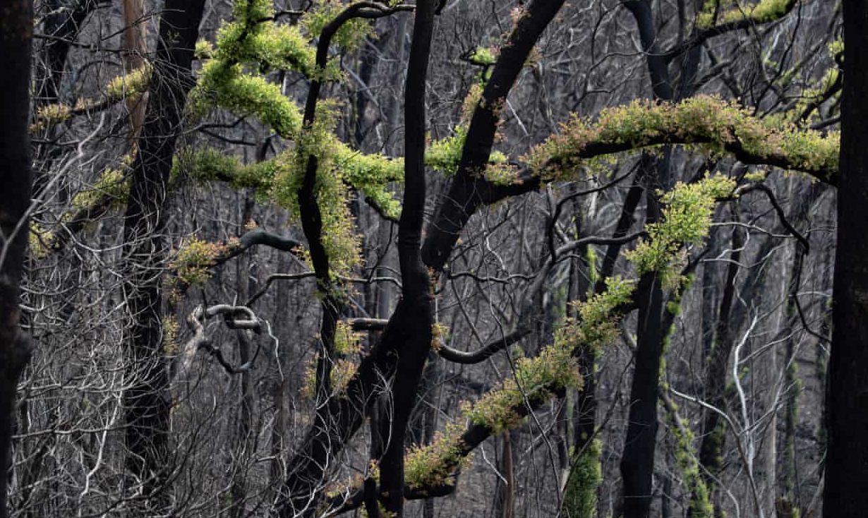
Subalpine regions struggle to recover after 2019-20 bushfires as eucalypt forests fare better
The Guardian 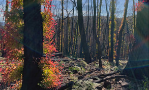
'Massive concern' for forests' long-term recovery after Black Summer
SMH.com.au |
logging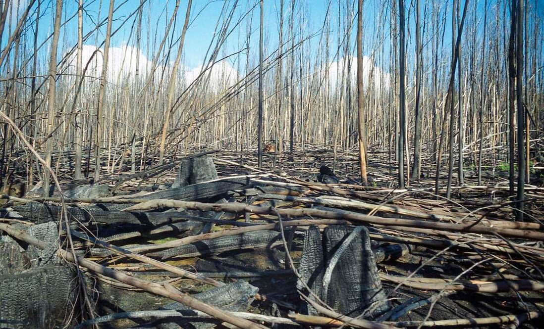
|
|
Burning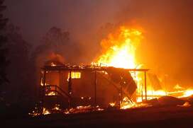
Bushfire risks heat up, demanding new take on fuel load management
SMH.com.au |
scientists
|
Join the Citizen Science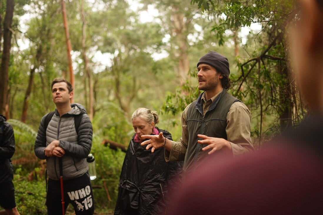
Join the citizen science programs forming in response to the fires, lodge your interest with out team leaders here. Volunteers can assist in collecting data for our programs.
|
Learn and Share
Explore the reports, mapping and data we have generated, learn about the forest recovering and future fire trends based on climate modelling.
|